
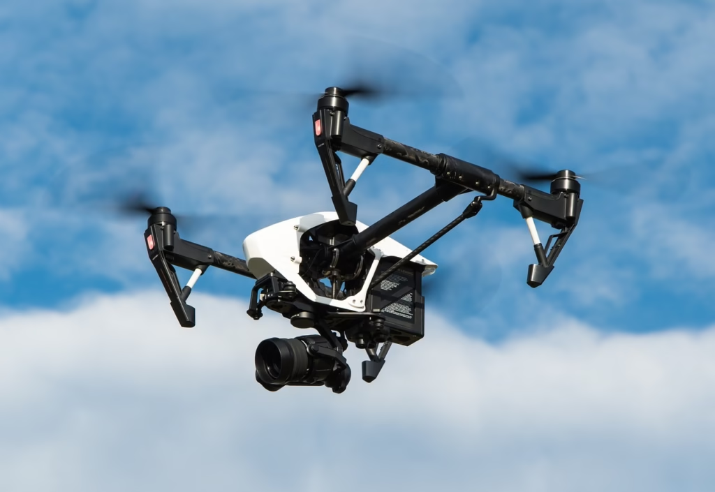
Drone mapping, also known as aerial surveying, has revolutionized the construction industry. By capturing detailed site data, drones produce essential deliverables in the form of maps, which aid in planning, monitoring, and decision-making. There are two primary methods of drone mapping: Photogrammetry and LiDAR. Each method provides unique outputs and requires specialized data processing software. This article explores the common types of maps generated through drone mapping and their significance in construction and surveying projects.
Types of Maps in Drone Mapping
1. Orthomosaic Maps
An orthomosaic map is a detailed, top-down view of a survey site. It is created by stitching together high-resolution images captured by a drone, forming a georeferenced 2D map. These maps offer centimeter-level accuracy and a real-world perspective of the area, making them ideal for large-scale surveys.
Benefits and Applications:
- Provides a comprehensive and accurate view of the site.
- Facilitates rapid decision-making and project analysis.
- Used in progress monitoring and site inspections.
Orthomosaic maps are especially valuable when precise, real-time visualization of a large area is required.
2. Digital Elevation Models (DEMs)
DEMs are visual representations of elevation data across a site. Unlike orthomosaic maps, they use colors to indicate variations in elevation. By mapping the highest vertical points for each coordinate, DEMs provide a grid-like representation of the terrain.
Key Features:
- Smaller grid cells provide more detailed elevation data.
- Highlights elevation differences to create a clear topographical model.
Applications: DEMs are essential for analyzing terrain characteristics, planning site grading, and ensuring accurate topographical studies.
3. Digital Surface Models (DSM) and Digital Terrain Models (DTM)
DSM and DTM are subsets of DEMs, each serving distinct purposes:
- DSM includes all natural and man-made features on the surface, such as buildings and trees.
- DTM focuses solely on the bare-earth terrain, excluding surface structures.
Key Differences:
- DSM represents the top layer of features.
- DTM represents ground-level data.
Applications: These models are widely used for infrastructure planning, landscape analysis, and environmental studies. The ability to differentiate between surface features and the underlying terrain makes them invaluable in complex project assessments.
4. Contour Line Maps
Contour maps, also known as topographic maps, are 2D representations that connect points of equal elevation using contour lines. These maps reveal slopes, peaks, valleys, and the steepness of the terrain.
Creation Process: Contour maps are generated from DSM or DTM models with specific intervals, allowing for customizable detail levels.
Applications: These maps are indispensable for understanding terrain shapes, planning construction activities, and visualizing surface undulations in a clear, concise manner.
5. 3D Point Clouds
A 3D point cloud is a dense collection of geospatial points, each carrying (x, y, z) coordinates and color information. These points are combined to form a detailed 3D representation of the area.
Features:
- High accuracy and density.
- Allows for precise measurements of distance, area, and volume.
Applications: 3D point clouds are used for detailed spatial analysis, volumetric calculations, and creating 3D models for design and planning purposes. Their versatility makes them a cornerstone of modern surveying.
6. 3D Texture Mesh
A 3D texture mesh is an advanced evolution of 3D point clouds. It includes edges, faces, vertices, and surface textures, offering a visually realistic representation of the site.
Benefits:
- Enhances visual inspection with a lifelike appearance.
- Ideal for monitoring project progress and conducting virtual inspections.
Applications: 3D texture meshes are commonly used for project tracking, design validation, and stakeholder presentations, providing a blend of precision and aesthetic clarity.
Conclusion
Drone mapping delivers a variety of maps, each tailored to specific project needs. From the real-world perspective of orthomosaic maps to the elevation insights of DEMs and the intricate detail of 3D texture meshes, these tools empower construction professionals to make informed decisions and improve project efficiency. Selecting the appropriate map type based on project requirements is essential to maximize the value of drone mapping. As technology advances, the precision and utility of these mapping techniques continue to enhance construction and surveying workflows.