
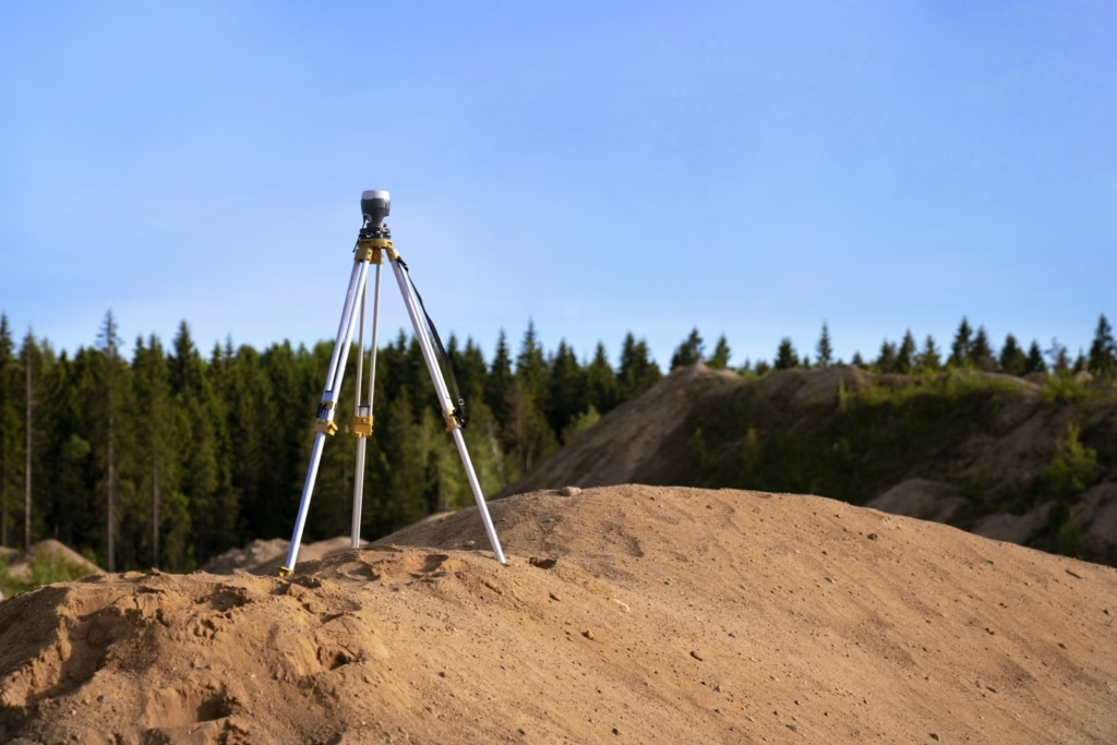
A Total Station is a cutting-edge surveying instrument that combines an Electromagnetic Distance Measuring Instrument (EDM) with an electronic theodolite. This compact device integrates a microprocessor, electronic data collector, and storage system, enabling it to measure horizontal and vertical angles, as well as sloping distances. Total Stations are indispensable in modern surveying, offering unmatched precision and versatility.
Capabilities of a Total Station
The microprocessor within a Total Station performs complex calculations, simplifying the surveyor’s work. Key computations include:
- Averaging multiple angles and distances.
- Determining horizontal distances and sloping distances.
- Calculating elevations and three-dimensional coordinates of surveyed points.
The data collected can be transferred to computers for further processing, making Total Stations ideal for projects requiring advanced analysis. Weighing between 50 and 55 newtons, the instrument is lightweight and easy to transport. With various models available, surveyors can choose Total Stations offering the accuracy and range that best suit their needs.
Key Components and Operations
1. Distance Measurement
The EDM component of a Total Station measures distances ranging from 2.8 km to 4.2 km with exceptional accuracy, varying from 5 mm to 10 mm per kilometer. The measurements are sloping distances and are often made using an automatic target recognizer for added precision.
2. Angle Measurement
The electronic theodolite measures both horizontal and vertical angles. Horizontal angles can reference any convenient direction, while vertical measurements typically reference the zenith. These angles are measured with accuracy ranging from 2 to 6 seconds, ensuring precise data for calculations.
3. Data Processing
An integrated microprocessor processes collected data, including slope distances and angles. When the instrument’s height and target height are provided, it calculates horizontal distances and three-dimensional (X, Y, Z) coordinates. The system can also apply corrections for temperature and pressure if atmospheric conditions are inputted.
4. Display
A built-in electronic display provides real-time output of critical data, such as horizontal and vertical distances, angles, elevation differences, and coordinates.
5. Electronic Book
The Total Station includes an electronic notebook capable of storing data from 2000 to 4000 points. This information can be downloaded to computers for further use, making it a valuable tool for efficient data management.
Uses of Total Stations
Using a Total Station involves several systematic steps:
- Setup and Leveling
The instrument is mounted on a tripod and leveled using adjustment screws. Within a small range, it can auto-adjust to ensure precision. - Reference Indexing
Vertical and horizontal reference directions are indexed using onboard keys. Units for distance, temperature, and pressure (e.g., FPS or SI) can be configured. - Data Collection
Surveyors select measurement modes (fine, coarse, single, or repeated) and record angles, distances, and point data. Instrument and target heights are keyed in for calculations. - Data Download and Processing
Collected data is downloaded to computers for advanced processing, such as plotting contours or cross-sections. Software like AutoCAD simplifies tasks such as creating contour maps and visualizing cross-sections.
Advantages of Using Total Stations
Modern Total Stations offer significant advantages over conventional surveying tools:
- Efficiency
Fieldwork is completed much faster, saving time and resources. - High Accuracy
Measurements and computations are exceptionally precise, ensuring reliable results. - Error Reduction
Manual errors in reading and recording are virtually eliminated. - Automation
Automated temperature and pressure corrections enhance accuracy. Coordinates are computed rapidly, reducing calculation time. - Software Integration
Integration with software like AutoCAD streamlines map-making and contour plotting, allowing quick adjustments to contour intervals and scales.
Precautions
To ensure reliable performance, surveyors should routinely check the instrument’s functionality. Standard points near the survey office can serve as benchmarks to verify accuracy before fieldwork begins.
Conclusion
Total Stations have revolutionized the field of surveying with their precision, speed, and data processing capabilities. Their ability to integrate with advanced software makes them invaluable for civil engineering, mapping, and construction projects. With proper maintenance and calibration, these instruments ensure dependable results, making them a cornerstone of modern surveying practices.