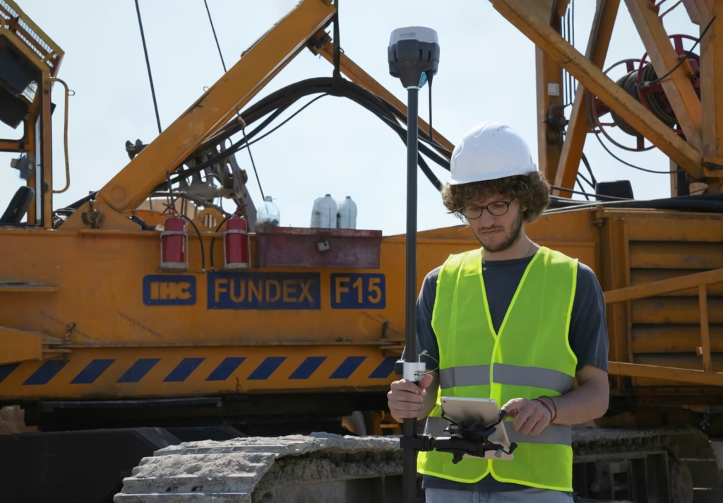
Leveling is a fundamental aspect of surveying in civil engineering, essential for measuring level differences between points with respect to a fixed reference point. It plays a crucial role in ensuring the accuracy and precision of various civil engineering construction projects, such as building elevations and maintaining proper structural levels according to design specifications.

What Is Leveling?
Leveling, a specialized branch of surveying, involves determining the heights or elevations of different points concerning a fixed point, such as the elevation of a building or the height of a location from the ground. This technique is widely used in civil engineering to ensure that construction aligns with the required elevations and dimensions.
Types of Leveling in Surveying
There are several types of leveling techniques, each tailored to specific field conditions and project requirements. The primary types include:
- Direct Leveling
- Trigonometric Leveling
- Barometric Leveling
- Stadia Leveling
Each method has distinct characteristics and applications, making them suitable for various surveying scenarios.
Direct Leveling
Direct leveling is the most commonly used method, where observations are made directly using a leveling instrument. Based on the positioning of the instrument and observation points, it is further categorized into several subtypes:
- Simple Leveling
Simple leveling is the most basic form of leveling. The leveling instrument is placed between two points, and leveling rods are positioned at these points. This method is ideal for nearby points without significant obstacles. - Differential Leveling
Differential leveling is used when the distance between two points is greater. Multiple intermediate stations are set up, and the instrument is shifted to each station to record the elevations. Finally, the elevation difference between the original two points is determined. - Fly Leveling
Fly leveling is conducted when the primary benchmark is far from the worksite. A temporary benchmark is established at the worksite based on the original benchmark. Though not highly precise, it is used for approximate level measurements. - Profile Leveling
Profile leveling determines elevations along a specific line, such as roads, railways, or rivers. Readings are taken at intermediate stations to calculate reduced levels, enabling the drawing of cross-sections for the alignment. - Precise Leveling
Similar to differential leveling, this method emphasizes higher precision. Observations follow strict procedures, achieving an accuracy of 1 mm per 1 km. - Reciprocal Leveling
Reciprocal leveling is used when intermediate instrument placement is not feasible, such as across rivers or ponds. Observations are taken from both ends of the line to eliminate errors caused by line-of-sight obstacles.
Trigonometric Leveling
Trigonometric leveling involves measuring elevations or differences in elevation using observed horizontal distances and vertical angles. The method relies on trigonometric principles, making it an indirect form of leveling. This technique is particularly useful for situations where direct observations are impractical, such as in rugged terrains.
Barometric Leveling
In barometric leveling, a barometer measures atmospheric pressure at two different points. The difference in pressure provides an estimate of the vertical difference between the points. While this method offers a rough estimation and is rarely used, it can be helpful for quick assessments in certain conditions.
Stadia Leveling
Stadia leveling is a refined form of trigonometric leveling that employs the tachometer principle to measure elevations. It uses an inclined line of sight and is more accurate than traditional trigonometric leveling. Stadia leveling is particularly effective in hilly terrains, where traditional methods may be challenging to implement.
Conclusion
Leveling is a critical aspect of surveying that ensures the accuracy and stability of construction projects. The various methods, including direct, trigonometric, barometric, and stadia leveling, cater to different field conditions and project needs. Understanding and selecting the appropriate leveling technique is vital for achieving precise and efficient results in civil engineering.
