
Underground surveying refers to surveying activities conducted beneath the Earth’s surface to facilitate tunneling, exploration, and construction of subterranean passageways. Unlike surface surveying, underground surveying presents unique challenges due to its environment and conditions. From navigating poorly lit spaces to working in cramped and wet passageways, the process requires specialized methods and equipment to ensure accuracy and efficiency.
Distinctive Features of Underground Surveying
Underground surveying differs significantly from surface surveying due to its unique working conditions:
- Lighting and Visibility
Artificial lighting is essential to view instrument crosshairs, read verniers, and sight targets. The lack of natural light makes precision a challenge. - Cramped Working Space
Underground passageways often limit the working area, making it difficult to set up and maneuver surveying equipment. - Station and Benchmark Placement
Instrument stations and benchmarks must often be mounted on the roof of the passageways to avoid interference from ongoing construction activities. - Difficulties in Setting Instrument Stations
Installing stations is challenging, as plugs must be driven into drill holes in the rock to secure instruments. - Environmental Conditions
Surveyors must contend with wet passageways where water drips from the roof or runs along the floor, adding another layer of complexity.
Applications of Underground Surveys
Underground surveying plays a critical role in the construction of tunnels and underground utilities. These structures are often preferred when open excavation becomes uneconomical, typically at depths greater than 20 meters. Tunneling provides several benefits:
- Economic and Practical Advantages
It reduces the grade and shortens travel distances, especially in mountainous terrains or ridges. - Urban Solutions
Tunnels meet the growing demand for rapid transit systems in modern cities. - Engineering Precision
Underground surveying ensures:- Accurate alignment
- Proper gradient
- Permanent reference stations for route planning
Key Stages of Underground Surveying
- Surface Survey
Surface surveys connect portal points of a tunnel. A traverse determines the azimuth, distance, and elevation differences at both ends.- Local coordinate systems ensure alignment.
- Monuments installed outside tunnel portals provide permanent references.
- Inside the tunnel, central line and grade stakes are often placed in the roof to avoid disruption from machinery and personnel.
- Transferring the Alignment Underground
For longer tunnels, excavation typically begins at both portals and progresses inward. Vertical shafts are often sunk at intermediate points to aid alignment. Vertical alignment can be achieved using:- Plumb Bob
A heavy bob suspended on a wire is used to establish a vertical line. Oscillations are controlled with high-viscosity oil. - Optical Collimator
This tool offers greater convenience than a plumb bob. It allows marks to be set directly on the floor of completed shafts without wires. - Laser Equipment
Lasers generate a high-intensity, low-divergence beam, projecting a visible line over long distances for reference.
- Plumb Bob
- Levels in Tunnels
Transferring levels underground is straightforward near the tunnel’s ends but more challenging at the shaft. Methods include:- Steel Tape and Chain
Traditional methods used to measure shaft depth from a known benchmark. - Electronic Distance Measuring Instrument (EDMI)
A modern, accurate method requiring stable support and good visibility to operate effectively.
- Steel Tape and Chain
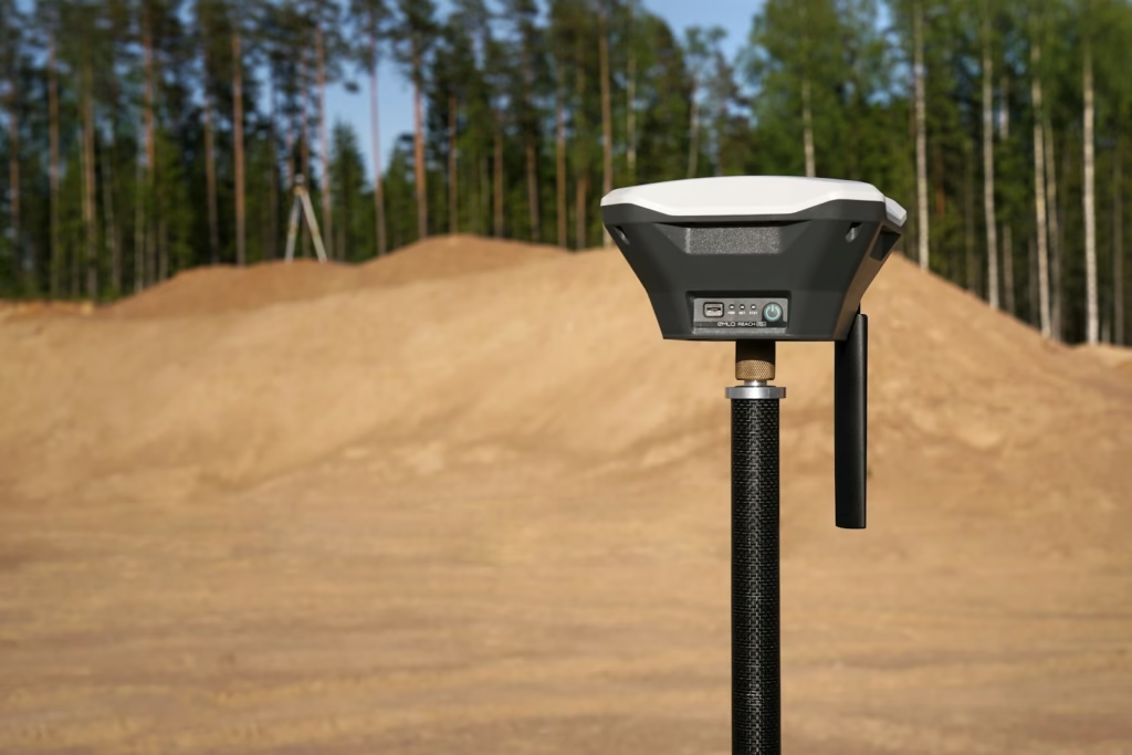
Equipment and Methods
Underground surveying relies on specialized tools tailored to unique conditions:
- For Vertical Alignment
- Plumb Bob: Simple but requires controlled conditions to reduce oscillations.
- Optical Collimator: Offers precision without the limitations of wires.
- Laser Equipment: Provides a long-distance, highly visible alignment reference.
- For Level Measurement
- Steel tape, chains, and rods are traditional tools for depth measurement.
- EDMI offers high accuracy but demands stability and clear visibility for optimal performance.
Figures and Illustrations
Visual aids are essential for understanding underground surveying techniques. Diagrams may include:
- Surface survey methods and monument placement
- Vertical alignment tools such as plumb bobs, optical collimators, and lasers
- Depth measurement using steel tape and EDM devices
Conclusion
Underground surveying is a critical component of modern infrastructure development, enabling the construction of tunnels and subterranean utilities with precision and efficiency. Its unique challenges, from poor lighting to environmental hazards, necessitate specialized tools and techniques. Advances in equipment, such as EDMI and laser alignment tools, have significantly improved accuracy and reduced manual effort. With its applications spanning urban transit systems and major engineering projects, underground surveying remains an indispensable part of contemporary construction and exploration.